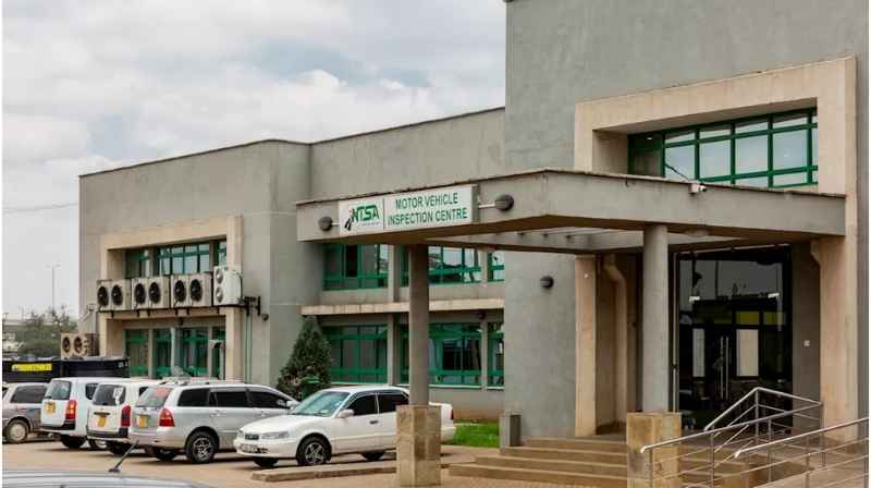

The National Transport and Safety Authority (NTSA) provides services relating to vehicles, drivers, public service vehicles and road transport regulation. For Nairobi residents, knowing the correct NTSA office is important because some services are available online while others may require a physical visit, inspection or verification.
This Metros guide connects NTSA destinations with Nairobi’s existing public transport network. For the wider network, see the Nairobi Matatu Routes and Numbers database. Metros has also mapped Industrial Area extensively, including Likoni Road, Lunga Lunga Road, Enterprise Road and connections to Mombasa Road. Metros Kenya
NTSA Likoni Road and Industrial Area
The Likoni Road/Industrial Area corridor is particularly important for motorists and PSV operators travelling for NTSA-related vehicle services and inspections.
Industrial Area is large, so passengers should identify the exact NTSA facility or inspection destination before boarding. The district is served by several roads, including Likoni Road, Lunga Lunga Road, Enterprise Road and Lusaka Road.
Start with the Nairobi Industrial Area Transport Guide, which explains the major roads, matatu routes and connections throughout the district. Metros Kenya
Nairobi CBD to the Likoni Road Area
Passengers travelling from Nairobi CBD towards the Likoni Road side of Industrial Area have several existing Metros-documented routes.
Route 70 connects Nairobi with Industrial Area through Likoni Road and Lunga Lunga Road. See the Route 70 Nairobi–Lunga Lunga–Industrial Area guide. Metros Kenya
Metros also documents Routes 70/71 between Nairobi CBD and the Industrial Area/Lunga Lunga corridor. See the Route 70/71 Nairobi–Industrial Area–Lunga Lunga guide. Metros Kenya
Before boarding, tell the conductor that your destination is on Likoni Road and give the specific NTSA facility or nearest landmark.
Route 71 Through Likoni Road
Route 71 is another important connection because it travels between Nairobi and Donholm through Jogoo Road, City Stadium, Likoni Road, BAT and Lunga Lunga Road.
See the Route 71 Nairobi–Industrial Area–Donholm guide. Metros Kenya
Passengers travelling to an NTSA destination around Likoni Road should tell the conductor their exact destination before boarding because Route 71 continues farther through Industrial Area towards Donholm.
Routes 71/72 Through the Industrial Area Corridor
Routes 71 and 72 also operate through the wider Lunga Lunga and Likoni Road transport corridor.
The Metros route guide maps the journey broadly as:
Nairobi CBD/Jogoo Road → City Stadium → Likoni Road → BAT → Lunga Lunga Road → Industrial Area connections → Donholm.
See the Route 71/72 Lunga Lunga Road and Industrial Area guide. Metros Kenya
This makes the corridor particularly relevant for passengers approaching NTSA facilities from the CBD, Jogoo Road or Donholm side.
From Umoja to NTSA Likoni Road
Passengers travelling from Umoja do not necessarily need to travel all the way into Nairobi CBD before heading back towards Industrial Area.
Metros’ existing Umoja guide identifies the Umoja–Donholm–Industrial Area network as a practical connection, with Routes 71/72 providing access from Donholm towards the Lunga Lunga/Likoni Road corridor.
See the Umoja to Industrial Area Matatu Guide. Metros Kenya
Once approaching Industrial Area, tell the conductor that your destination is Likoni Road rather than simply saying Industrial Area.
From Embakasi to NTSA Likoni Road
For passengers travelling from Embakasi, Donholm can provide an important interchange towards Industrial Area.
Metros maps the broad connection as:
Embakasi → Donholm → Lunga Lunga Road/BAT → Likoni Road
See the Embakasi to Industrial Area Matatu Guide. Metros Kenya
Route 71 then provides one of the documented connections through the Lunga Lunga, BAT and Likoni Road corridor.
From Pipeline to NTSA Likoni Road
Passengers travelling from Pipeline can also use the Donholm connection instead of necessarily travelling through Nairobi CBD.
Metros maps the broad journey as:
Pipeline → Outer Ring Road → Donholm → Industrial Area
From Donholm, Routes 71/72 provide connections towards the Lunga Lunga and Likoni Road side of Industrial Area.
See the Pipeline to Industrial Area Matatu Guide. Metros Kenya
From Buruburu to NTSA Likoni Road
Passengers travelling from Buruburu can approach Industrial Area through the Donholm connection.
For Likoni Road, Metros maps the broad journey as:
Buruburu → Donholm → Lunga Lunga Road → Likoni Road
See the Buruburu to Industrial Area Matatu Guide. Metros Kenya
Passengers should still provide the conductor with the specific NTSA destination because Likoni Road serves a large industrial area.
From Kasarani and Thika Road
Passengers travelling from Kasarani and the Thika Road corridor can use Nairobi CBD as the main interchange for Industrial Area.
The journey can broadly be planned as:
Kasarani → Thika Road → Nairobi CBD → Industrial Area
From the CBD, passengers can connect to Routes 70 or 71 towards the Industrial Area/Likoni Road corridor.
See the Kasarani to Industrial Area Matatu Guide. Metros Kenya
From Ongata Rongai
Passengers travelling from Ongata Rongai can similarly use Nairobi CBD as an interchange.
For Likoni Road, the broad journey is:
Ongata Rongai → Nairobi CBD → Likoni Road
Route 71 forms part of the network connecting Nairobi CBD with Likoni Road, BAT, Lunga Lunga Road and Donholm.
See the Ongata Rongai to Industrial Area Matatu Guide. Metros Kenya
Enterprise Road and Mombasa Road Connections
Some NTSA-related journeys may involve the Enterprise Road side of Industrial Area rather than the Likoni Road/Lunga Lunga side.
Enterprise Road provides an important connection towards General Motors and Mombasa Road.
Metros has a dedicated Enterprise Road to Mombasa Road Matatu Services guide explaining this connection. Metros Kenya
There is also a dedicated Industrial Area to General Motors Matatu Guide covering the Lusaka Road–Enterprise Road–GM connection. Metros Kenya
Where Should You Alight?
The correct alighting point depends on the specific NTSA facility you are visiting.
Industrial Area does not have one universal stage. A vehicle serving Enterprise Road may not be the best option for a passenger whose destination is on Likoni Road.
Before boarding, tell the conductor:
“I’m going to NTSA on Likoni Road.”
If you know the specific facility, gate or nearby landmark, give that information as well.
Can You Access NTSA Services at Huduma Centres?
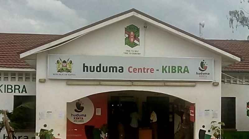
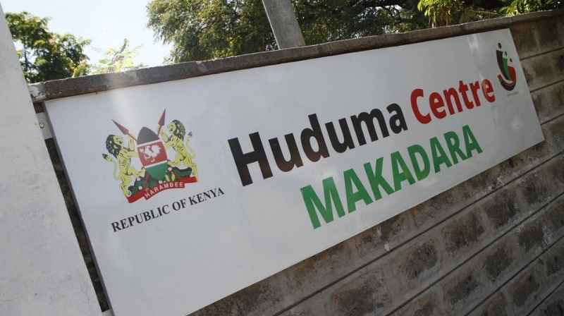
Some government services are available through Huduma Centres, but commuters should confirm whether their particular NTSA transaction is available before travelling.
Metros has already mapped Nairobi’s Huduma Centre network, including the Huduma Centre GPO guide and the Huduma Centre Eastleigh guide.
For transactions that can be completed digitally, using the relevant government online service may eliminate the need for a physical journey.
Metros NTSA Transport Database
This guide forms the foundation of the Metros NTSA transport database, connecting NTSA offices and vehicle-service destinations with the public transport routes commuters use to reach them.
The database builds directly on the existing Metros Nairobi Matatu Routes and Industrial Area clusters. Instead of treating an NTSA office as an isolated destination, the guides connect it to Routes 70, 71 and 72, Likoni Road, Lunga Lunga Road, Enterprise Road, Donholm, Jogoo Road, Mombasa Road and origin-specific commuter guides.
This creates a connected journey database in which a commuter can move from their neighbourhood → relevant route guide → Industrial Area corridor → NTSA destination.
Information last verified: September 2026.